File:Christmas Day 2010 Captains Hill, Leixlip - Geograph - 2914632.jpg
Jump to navigation
Jump to search

No higher resolution available.
Christmas_Day_2010_Captains_Hill,_Leixlip_-_Geograph_-_2914632.jpg (640 × 478 pixels, file size: 64 KB, MIME type: image/jpeg)
| |||||||||||||||||||||||||
|
Galleries | R149 | ||
File history
Click on a date/time to view the file as it appeared at that time.
| Date/Time | Thumbnail | Dimensions | User | Comment | |
|---|---|---|---|---|---|
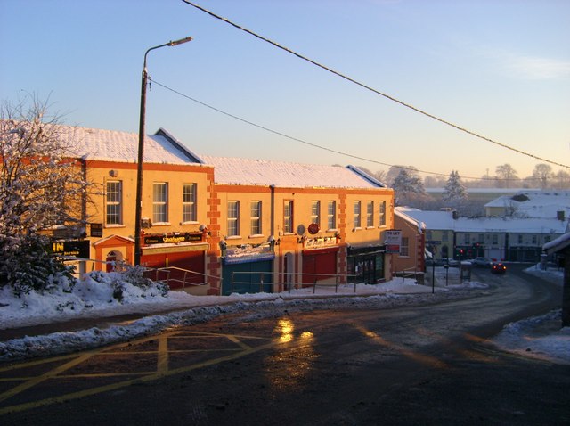
| current | 09:02, 26 August 2013 | | 640 × 478 (64 KB) | Viator (talk | contribs) | Captains Hill (R149), Leixlip, on a very cold sunny Christmas Day 2010 |
File usage
The following 2 pages use this file: