File:Chudleigh Road B3193 passing Rixey Park site - Geograph - 1742201.jpg
Jump to navigation
Jump to search

No higher resolution available.
Chudleigh_Road_B3193_passing_Rixey_Park_site_-_Geograph_-_1742201.jpg (640 × 480 pixels, file size: 404 KB, MIME type: image/jpeg)
| |||||||||||||||||||||||||
|
Galleries | B3193 | ||
File history
Click on a date/time to view the file as it appeared at that time.
| Date/Time | Thumbnail | Dimensions | User | Comment | |
|---|---|---|---|---|---|
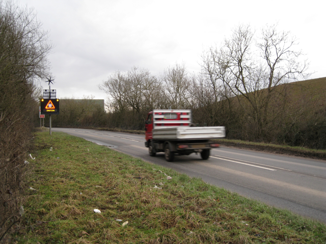
| current | 19:54, 10 March 2010 | | 640 × 480 (404 KB) | Jeni (talk | contribs) | '''Chudleigh Road B3193 passing Rixey Park site'''<br/>The clay waste mound on the right is approaching a state that might be called landscaped. From the top it looks like this <a href="http://www.geograph.org.uk/photo/1742127">SX8576 : Clay waste on Rixe |
File usage
There are no pages that use this file.