File:Church Road becomes the Esplanade,... (C) Rob Farrow - Geograph - 2770555.jpg
Jump to navigation
Jump to search

No higher resolution available.
Church_Road_becomes_the_Esplanade,..._(C)_Rob_Farrow_-_Geograph_-_2770555.jpg (640 × 480 pixels, file size: 84 KB, MIME type: image/jpeg)
| |||||||||||||||||||||||||
File history
Click on a date/time to view the file as it appeared at that time.
| Date/Time | Thumbnail | Dimensions | User | Comment | |
|---|---|---|---|---|---|
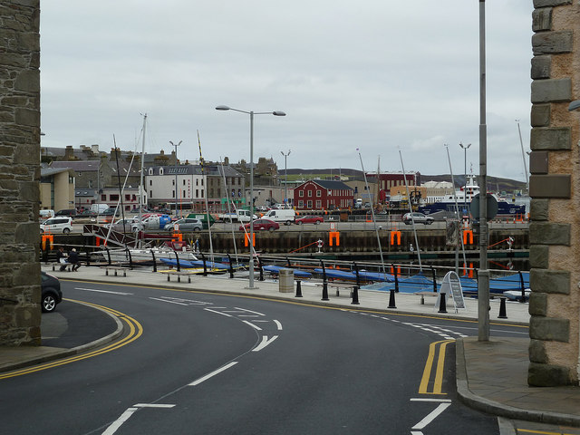
| current | 19:35, 1 May 2014 | | 640 × 480 (84 KB) | Vlad (talk | contribs) | '''Church Road becomes the Esplanade,... (C) Rob Farrow '''<br/>As the A969 turns left just before the harbour it changes from being Church Road to being the Esplanade that runs alongside the harbour on the seaward side of the old town of Lerwick. |
File usage
The following 4 pages use this file:
_Rob_Farrow_-_Geograph_-_2770555.jpg&oldid=372206)