File:Church road.png
Jump to navigation
Jump to search

Size of this preview: 800 × 479 pixels. Other resolution: 1,270 × 761 pixels.
Original file (1,270 × 761 pixels, file size: 1.3 MB, MIME type: image/png)
| |||||||||||||||||||||||||
|
Galleries | C281 (Lancashire) | ||
File history
Click on a date/time to view the file as it appeared at that time.
| Date/Time | Thumbnail | Dimensions | User | Comment | |
|---|---|---|---|---|---|
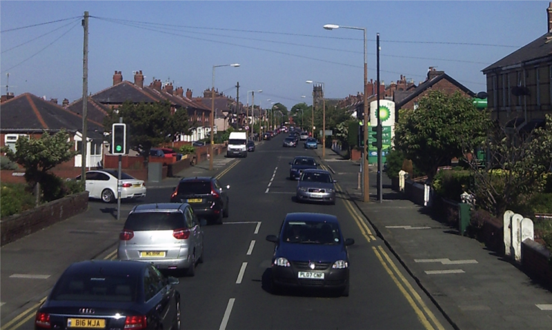
| current | 13:33, 16 June 2012 | | 1,270 × 761 (1.3 MB) | And1969 (talk | contribs) | Church Road (C281) in St Annes, just east of the junction with St Thomas's Road looking westwards |
File usage
The following page uses this file: