File:Churchill Road Bridge, River Avon, Bath - Geograph - 179589.jpg
Jump to navigation
Jump to search

No higher resolution available.
Churchill_Road_Bridge,_River_Avon,_Bath_-_Geograph_-_179589.jpg (640 × 424 pixels, file size: 129 KB, MIME type: image/jpeg)
| |||||||||||||||||||||||||
|
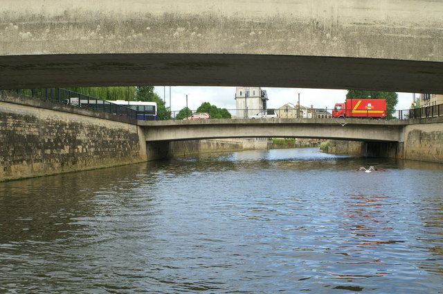
Galleries | A367 | Bath | Churchill (Southgate) Bridge | Concrete Bridges | ||
File history
Click on a date/time to view the file as it appeared at that time.
| Date/Time | Thumbnail | Dimensions | User | Comment | |
|---|---|---|---|---|---|
| current | 11:27, 11 August 2016 | | 640 × 424 (129 KB) | Rileyrob (talk | contribs) | '''Churchill Road Bridge, River Avon, Bath''' Viewed from under Southgate Bridge, looking downstream |
File usage
The following 3 pages use this file: