File:Claremont Road, Irlams o' th' Height - Geograph - 1974817.jpg
Jump to navigation
Jump to search

No higher resolution available.
Claremont_Road,_Irlams_o'_th'_Height_-_Geograph_-_1974817.jpg (640 × 426 pixels, file size: 118 KB, MIME type: image/jpeg)
| |||||||||||||||||||||||||
|
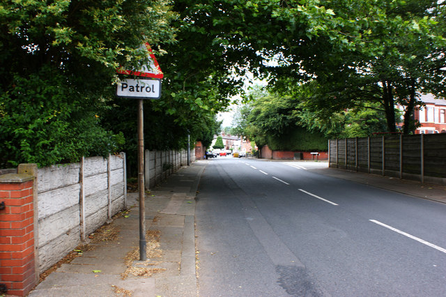
Galleries | B5228 | ||
File history
Click on a date/time to view the file as it appeared at that time.
| Date/Time | Thumbnail | Dimensions | User | Comment | |
|---|---|---|---|---|---|
| current | 10:41, 15 December 2013 | | 640 × 426 (118 KB) | Viator (talk | contribs) | Claremont Road, Irlams o' th' Height |
File usage
The following 2 pages use this file: