File:Cleggan Harbour on the Wild Atlantic Way - Geograph - 5526021.jpg
Jump to navigation
Jump to search

Size of this preview: 450 × 600 pixels. Other resolution: 480 × 640 pixels.
Original file (480 × 640 pixels, file size: 56 KB, MIME type: image/jpeg)
| |||||||||||||||||||||||||
|
Galleries | Inishbofin ferry | Wild Atlantic Way | County Galway | ||
File history
Click on a date/time to view the file as it appeared at that time.
| Date/Time | Thumbnail | Dimensions | User | Comment | |
|---|---|---|---|---|---|
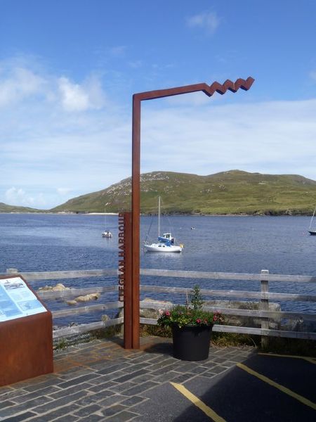
| current | 14:15, 18 August 2018 | | 480 × 640 (56 KB) | C2r (talk | contribs) | '''Cleggan Harbour on the Wild Atlantic Way''' One of the markers on the Wild Atlantic Way. The Wild Atlantic Way is a well signposted touring route along the west coast of Ireland. At over 1,600 miles in length, it begins in Londonderry/Derry and run... |
File usage
The following 5 pages use this file: