File:Cleghorn Level Crossing - Geograph - 339107.jpg
Jump to navigation
Jump to search

No higher resolution available.
Cleghorn_Level_Crossing_-_Geograph_-_339107.jpg (640 × 428 pixels, file size: 106 KB, MIME type: image/jpeg)
| |||||||||||||||||||||||||
|
Galleries | A706 | S2 | Level Crossing | Lanarkshire | ||
File history
Click on a date/time to view the file as it appeared at that time.
| Date/Time | Thumbnail | Dimensions | User | Comment | |
|---|---|---|---|---|---|
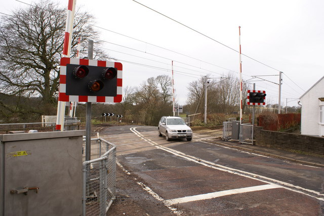
| current | 15:10, 3 October 2010 | | 640 × 428 (106 KB) | Glen (talk | contribs) | '''Cleghorn Level Crossing'''<br/>This crossing is just north of the electrified single-track spur that serves the Lanarkshire town of Lanark. |
File usage
The following 2 pages use this file: