File:Cliffsend Underpass - Geograph - 5058652.jpg
Jump to navigation
Jump to search

No higher resolution available.
Cliffsend_Underpass_-_Geograph_-_5058652.jpg (640 × 473 pixels, file size: 40 KB, MIME type: image/jpeg)
| |||||||||||||||||||||||||
|
Galleries | A299 | Ramsgate | Cliffsend Underpass | ||
File history
Click on a date/time to view the file as it appeared at that time.
| Date/Time | Thumbnail | Dimensions | User | Comment | |
|---|---|---|---|---|---|
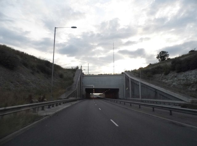
| current | 07:44, 18 September 2021 | | 640 × 473 (40 KB) | Ross spur (talk | contribs) | '''Cliffsend underpass''' The road is built in a cutting for around a mile, while the railway and level crossing for the village is on the original ground level. |
File usage
The following page uses this file: