File:Clinton Rd - Geograph - 5110240.jpg
Jump to navigation
Jump to search

No higher resolution available.
Clinton_Rd_-_Geograph_-_5110240.jpg (640 × 426 pixels, file size: 65 KB, MIME type: image/jpeg)
| |||||||||||||||||||||||||
|
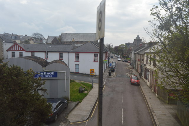
Galleries | A3047 (Clinton Road, Redruth) | unclassified | Redruth | ||
File history
Click on a date/time to view the file as it appeared at that time.
| Date/Time | Thumbnail | Dimensions | User | Comment | |
|---|---|---|---|---|---|
| current | 19:33, 7 March 2017 | | 640 × 426 (65 KB) | Vlad (talk | contribs) | '''Clinton Rd''' |
File usage
The following 3 pages use this file: