File:Clitheroe Road, Brierfield - Geograph - 842722.jpg

From Roader's Digest: The SABRE Wiki
Jump to navigation Jump to search

Clitheroe_Road,_Brierfield_-_Geograph_-_842722.jpg(640 × 480 pixels, file size: 84 KB, MIME type: image/jpeg)

Y topleft.gifY topright.gif
Description:
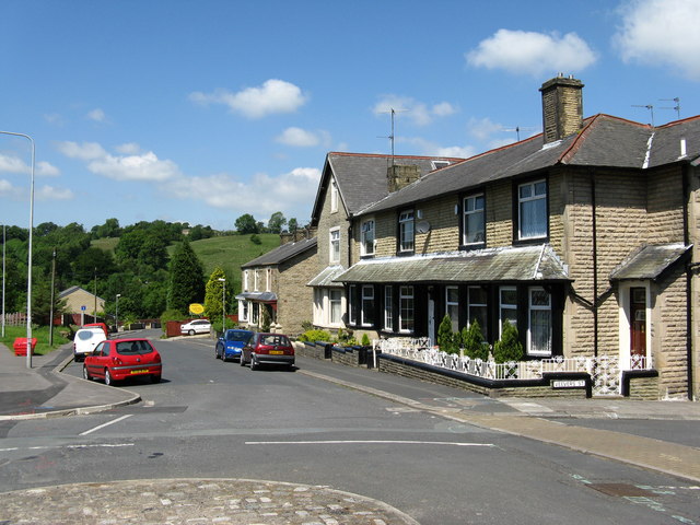
Clitheroe Road, Brierfield
This is now the B6248 linking Brierfield with the Pendleside villages, (Fence, Wheatley Lane, etc). Formerly the road was known as Lob Lane, and gave this name to the bridge, still so called, over the Leeds and Liverpool Canal
Location:53.824615, -2.241811
Road:B6248
Date:09 06 2008
Photographer:� Copyright Dr Neil Clifton and licensed for reuse under this Creative Commons Licence
Source:Geograph

Map

Y btmleft.gifY btmright.gif

Galleries  | B6248 | S2

File history

Click on a date/time to view the file as it appeared at that time.

Date/TimeThumbnailDimensionsUserComment
current14:00, 7 April 2010Thumbnail for version as of 14:00, 7 April 2010640 × 480 (84 KB)Bob@romiley1 (talk | contribs)'''Clitheroe Road, Brierfield'''<br/>This is now the B6248 linking Brierfield with the Pendleside villages, (Fence, Wheatley Lane, etc). Formerly the road was known as Lob Lane, and gave this name to the bridge, still so called, over the Leeds and Liverp

The following 2 pages use this file:

Metadata

SABRE - The Society for All British and Irish Road Enthusiasts
Discuss - Digest - Discover - Help