File:Cloneen, County Tipperary - Geograph - 1829909.jpg
Jump to navigation
Jump to search

No higher resolution available.
Cloneen,_County_Tipperary_-_Geograph_-_1829909.jpg (640 × 334 pixels, file size: 80 KB, MIME type: image/jpeg)
| |||||||||||||||||||||||||
|
Galleries | R692 | ||
File history
Click on a date/time to view the file as it appeared at that time.
| Date/Time | Thumbnail | Dimensions | User | Comment | |
|---|---|---|---|---|---|
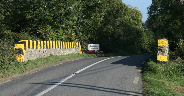
| current | 11:08, 2 July 2014 | | 640 × 334 (80 KB) | Viator (talk | contribs) | Approaching the village of Cloneen from the west on the R692 |
File usage
The following page uses this file: