File:Cloyne village - Geograph - 4661200.jpg
Jump to navigation
Jump to search

No higher resolution available.
Cloyne_village_-_Geograph_-_4661200.jpg (640 × 426 pixels, file size: 56 KB, MIME type: image/jpeg)
| |||||||||||||||||||||||||
|
Galleries | R629 | Petrol station | Warning Sign/Side Road | ||
File history
Click on a date/time to view the file as it appeared at that time.
| Date/Time | Thumbnail | Dimensions | User | Comment | |
|---|---|---|---|---|---|
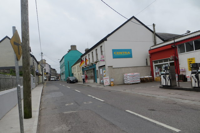
| current | 13:35, 14 May 2016 | | 640 × 426 (56 KB) | C2r (talk | contribs) | '''Cloyne village''' Mini-market and petrol station in Church Street. |
File usage
The following page uses this file: