File:Clyde Gateway (C) Thomas Nugent - Geograph - 3683547.jpg
Jump to navigation
Jump to search

No higher resolution available.
Clyde_Gateway_(C)_Thomas_Nugent_-_Geograph_-_3683547.jpg (640 × 480 pixels, file size: 101 KB, MIME type: image/jpeg)
| |||||||||||||||||||||||||
|
Galleries | A728 (East Glasgow) | ||
File history
Click on a date/time to view the file as it appeared at that time.
| Date/Time | Thumbnail | Dimensions | User | Comment | |
|---|---|---|---|---|---|
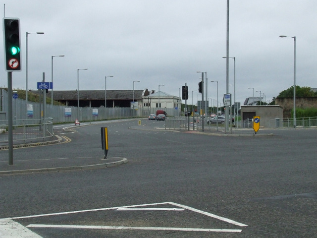
| current | 20:38, 25 March 2014 | | 640 × 480 (101 KB) | Vlad (talk | contribs) | '''Clyde Gateway (C) Thomas Nugent '''<br/>A new road, cutting through the East End to link the M74 and the M8 motorways. Dalmarnock Road is crossed at this point. |
File usage
The following 2 pages use this file:
_Thomas_Nugent_-_Geograph_-_3683547.jpg&oldid=368321)