File:Clyde Link Ferry at Renfrew - Geograph - 2926944.jpg
Jump to navigation
Jump to search

No higher resolution available.
Clyde_Link_Ferry_at_Renfrew_-_Geograph_-_2926944.jpg (640 × 480 pixels, file size: 90 KB, MIME type: image/jpeg)
| |||||||||||||||||||||||||
|
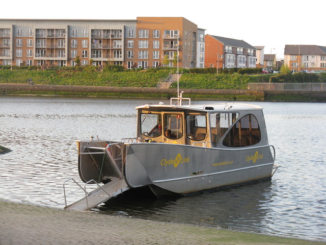
Galleries | A741 | Renfrew-Yoker Ferry | ||
File history
Click on a date/time to view the file as it appeared at that time.
| Date/Time | Thumbnail | Dimensions | User | Comment | |
|---|---|---|---|---|---|
| current | 23:57, 11 March 2021 | | 640 × 480 (90 KB) | Tam nugent (talk | contribs) | A somewhat less substantial craft than the earlier ones that served this route. |
File usage
There are no pages that use this file.