File:College Road and Whitechurch Road - Geograph - 1014092.jpg
Jump to navigation
Jump to search

No higher resolution available.
College_Road_and_Whitechurch_Road_-_Geograph_-_1014092.jpg (640 × 480 pixels, file size: 78 KB, MIME type: image/jpeg)
| |||||||||||||||||||||||||
|
Galleries | R113 | ||
File history
Click on a date/time to view the file as it appeared at that time.
| Date/Time | Thumbnail | Dimensions | User | Comment | |
|---|---|---|---|---|---|
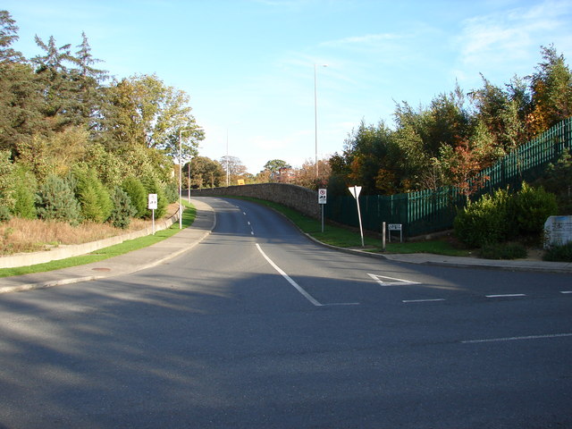
| current | 08:14, 20 September 2013 | | 640 × 480 (78 KB) | Viator (talk | contribs) | Junction of College Road (ahead) and Whitechurch Road. The M50 lies immediately to the right. |
File usage
There are no pages that use this file.