File:Colliersland Bridge - Geograph - 1549399.jpg
Jump to navigation
Jump to search

No higher resolution available.
Colliersland_Bridge_-_Geograph_-_1549399.jpg (640 × 430 pixels, file size: 172 KB, MIME type: image/jpeg)
| |||||||||||||||||||||||||
|
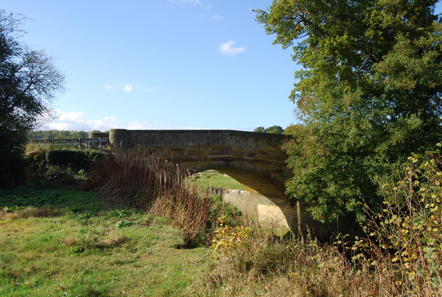
Galleries | B2188 | High Weald Country Tour | Colliersland Bridge | ||
File history
Click on a date/time to view the file as it appeared at that time.
| Date/Time | Thumbnail | Dimensions | User | Comment | |
|---|---|---|---|---|---|
| current | 14:32, 27 May 2010 | | 640 × 430 (172 KB) | Bob@romiley1 (talk | contribs) | Colliersland Bridge |
File usage
The following 3 pages use this file: