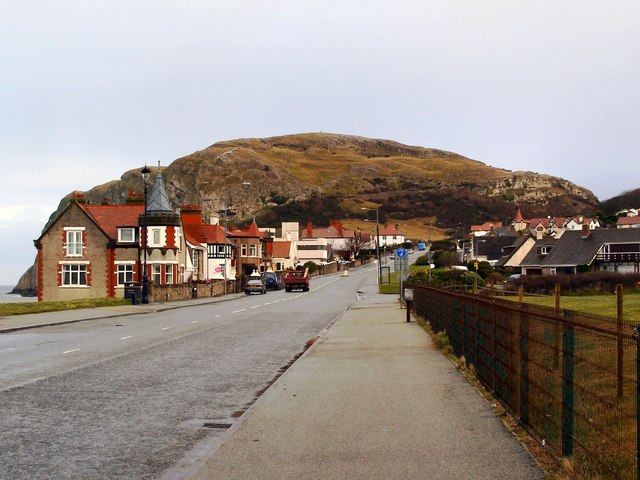
File:Colwyn Road, Llandudno - Geograph - 1716547.jpg
Jump to navigation
Jump to search

No higher resolution available.
Colwyn_Road,_Llandudno_-_Geograph_-_1716547.jpg (640 × 480 pixels, file size: 70 KB, MIME type: image/jpeg)
| |||||||||||||||||||||||||
File history
Click on a date/time to view the file as it appeared at that time.
| Date/Time | Thumbnail | Dimensions | User | Comment | |
|---|---|---|---|---|---|
| current | 13:42, 6 February 2014 | | 640 × 480 (70 KB) | Viator (talk | contribs) | Colwyn Road, Llandudno |
File usage
The following 3 pages use this file: