File:Connor Hill Road - Geograph - 259636.jpg
Jump to navigation
Jump to search

No higher resolution available.
Connor_Hill_Road_-_Geograph_-_259636.jpg (640 × 480 pixels, file size: 99 KB, MIME type: image/jpeg)
| |||||||||||||||||||||||||
|
Galleries | R560 | Wild Atlantic Way | ||
File history
Click on a date/time to view the file as it appeared at that time.
| Date/Time | Thumbnail | Dimensions | User | Comment | |
|---|---|---|---|---|---|
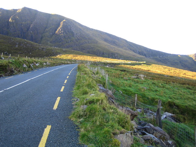
| current | 08:59, 14 May 2016 | | 640 × 480 (99 KB) | C2r (talk | contribs) | '''Connor Hill Road''' Viewed looking towards Dingle, with the Connor Hill Pass to the right and Slievanea to the left. |
File usage
There are no pages that use this file.