File:Construction of the Eastern Way flyover - Geograph - 1056703.jpg
Jump to navigation
Jump to search

No higher resolution available.
Construction_of_the_Eastern_Way_flyover_-_Geograph_-_1056703.jpg (640 × 419 pixels, file size: 80 KB, MIME type: image/jpeg)
| |||||||||||||||||||||||||
|
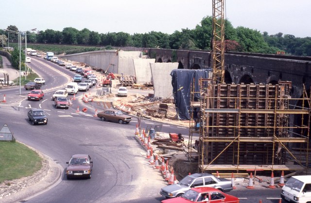
Galleries | A27 | A32 | Quay Street Roundabout | ||
File history
Click on a date/time to view the file as it appeared at that time.
| Date/Time | Thumbnail | Dimensions | User | Comment | |
|---|---|---|---|---|---|
| current | 20:46, 28 December 2011 | | 640 × 419 (80 KB) | Johnathan404 (talk | contribs) | Construction of the Eastern Way flyover. |
File usage
The following 2 pages use this file: