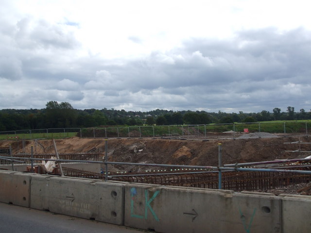
File:Construction works on the Alderley Edge Bypass - Geograph - 1478393.jpg
Jump to navigation
Jump to search

No higher resolution available.
Construction_works_on_the_Alderley_Edge_Bypass_-_Geograph_-_1478393.jpg (640 × 480 pixels, file size: 51 KB, MIME type: image/jpeg)
| |||||||||||||||||||||||||
|
Galleries | A34 | A34 (Solihull - Salford) | Alderley Edge Bypass | ||
File history
Click on a date/time to view the file as it appeared at that time.
| Date/Time | Thumbnail | Dimensions | User | Comment | |
|---|---|---|---|---|---|
| current | 17:04, 7 January 2010 | | 640 × 480 (51 KB) | Johnny (talk | contribs) | {{Information |description = Construction works on the Alderley Edge Bypass |day = 06 |month = 09 |year = 2009 |photographer = © Copyright [http://www.geograph.org.uk/profile/15585 Glyn Drury] and licensed for reuse under [http:/ |
File usage
The following page uses this file: