File:Core Path sign on Routenburn Road - Geograph - 6030700.jpg
Jump to navigation
Jump to search

No higher resolution available.
Core_Path_sign_on_Routenburn_Road_-_Geograph_-_6030700.jpg (640 × 480 pixels, file size: 106 KB, MIME type: image/jpeg)
| |||||||||||||||||||||||||
|
Galleries | C118 (North Ayrshire) | ||
File history
Click on a date/time to view the file as it appeared at that time.
| Date/Time | Thumbnail | Dimensions | User | Comment | |
|---|---|---|---|---|---|
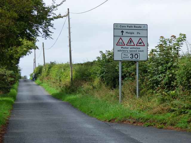
| current | 22:08, 10 March 2021 | | 640 × 480 (106 KB) | Tam nugent (talk | contribs) | Core Path sign on the C118 Routenburn Road. On the hill out of Largs. The road is a quiet back road alternative to the busy A78 coast road. |
File usage
There are no pages that use this file.