File:Cow Hill Interchange, Newcastle - Geograph - 5683883.jpg
Jump to navigation
Jump to search

No higher resolution available.
Cow_Hill_Interchange,_Newcastle_-_Geograph_-_5683883.jpg (640 × 480 pixels, file size: 73 KB, MIME type: image/jpeg)
| |||||||||||||||||||||||||
|
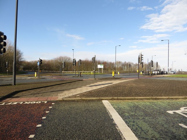
Galleries | A167 | A189 | Newcastle-upon-Tyne | Cow Hill Interchange | ||
File history
Click on a date/time to view the file as it appeared at that time.
| Date/Time | Thumbnail | Dimensions | User | Comment | |
|---|---|---|---|---|---|
| current | 19:25, 2 April 2022 | | 640 × 480 (73 KB) | Ross spur (talk | contribs) | Cow Hill Interchange, Newcastle looking towards the bridge over A167 North-West Radial |
File usage
The following 2 pages use this file: