File:Cowes Chain Ferry - Geograph - 172122.jpg
Jump to navigation
Jump to search

No higher resolution available.
Cowes_Chain_Ferry_-_Geograph_-_172122.jpg (640 × 480 pixels, file size: 271 KB, MIME type: image/jpeg)
| |||||||||||||||||||||||||
|
Galleries | Cowes Chain Ferry | ||
File history
Click on a date/time to view the file as it appeared at that time.
| Date/Time | Thumbnail | Dimensions | User | Comment | |
|---|---|---|---|---|---|
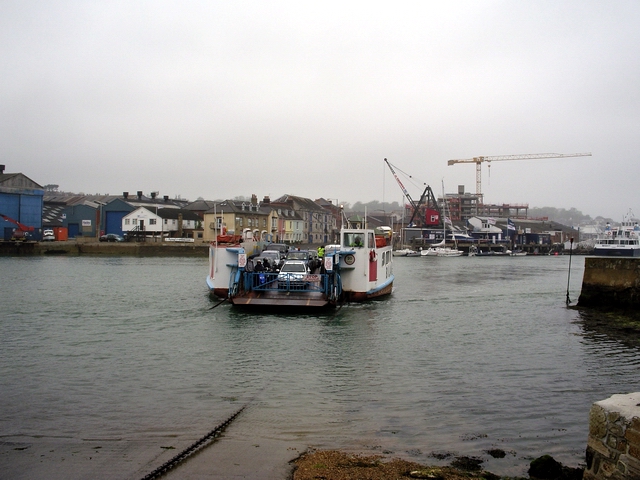
| current | 23:41, 20 April 2010 | | 640 × 480 (271 KB) | Si404 (talk | contribs) | '''Cowes Chain Ferry'''<br/>Looking across the tidal River Medina to Cowes from the apron at East Cowes. The chain ferry or "floating bridge" links the two towns. |
File usage
The following 2 pages use this file: