File:Crab & Winkle Way, Canterbury (C) Malc McDonald - Geograph - 3717032.jpg
Jump to navigation
Jump to search

No higher resolution available.
Crab_&_Winkle_Way,_Canterbury_(C)_Malc_McDonald_-_Geograph_-_3717032.jpg (640 × 360 pixels, file size: 111 KB, MIME type: image/jpeg)
| |||||||||||||||||||||||||
|
Galleries | NCN1 | Canterbury | ||
File history
Click on a date/time to view the file as it appeared at that time.
| Date/Time | Thumbnail | Dimensions | User | Comment | |
|---|---|---|---|---|---|
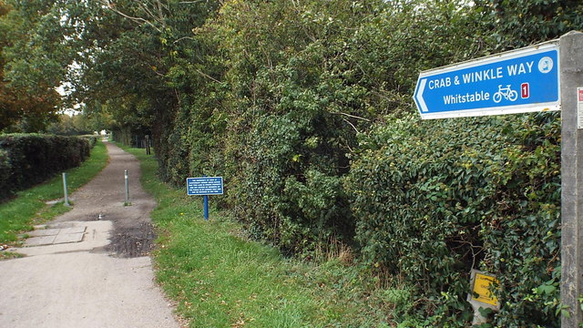
| current | 14:51, 30 January 2014 | | 640 × 360 (111 KB) | Si404 (talk | contribs) | '''Crab & Winkle Way, Canterbury (C) Malc McDonald '''<br/>The Crab & Winkle Way is a cycle route which follows the path of an old railway line between Canterbury and Whitstable. It forms part of National Cycle Network route 1, which stretches from Do... |
File usage
The following page uses this file:
_Malc_McDonald_-_Geograph_-_3717032.jpg&oldid=362037)