File:Crawley Avenue at the junction with Gossops Drive - Geograph - 3041237.jpg
Jump to navigation
Jump to search

No higher resolution available.
Crawley_Avenue_at_the_junction_with_Gossops_Drive_-_Geograph_-_3041237.jpg (640 × 480 pixels, file size: 42 KB, MIME type: image/jpeg)
| |||||||||||||||||||||||||
|
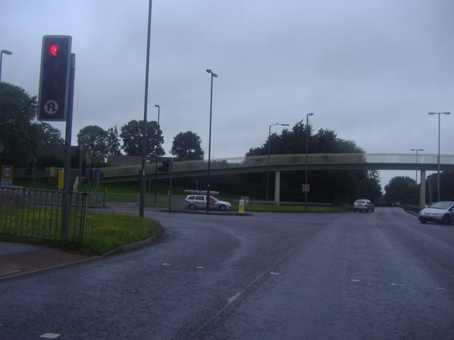
Galleries | A23 | C405 (West Sussex) | Gossops Green Junction | ||
File history
Click on a date/time to view the file as it appeared at that time.
| Date/Time | Thumbnail | Dimensions | User | Comment | |
|---|---|---|---|---|---|
| current | 17:29, 24 March 2019 | | 640 × 480 (42 KB) | Jervi (talk | contribs) | '''Crawley Avenue at the junction with Gossops Drive''' |
File usage
The following 2 pages use this file: