File:Creggan Street, Derry - Londonderry - Geograph - 1159211.jpg
Jump to navigation
Jump to search

No higher resolution available.
Creggan_Street,_Derry_-_Londonderry_-_Geograph_-_1159211.jpg (640 × 479 pixels, file size: 60 KB, MIME type: image/jpeg)
| |||||||||||||||||||||||||
|
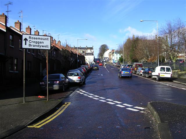
Galleries | B527 (Northern Ireland) | ||
File history
Click on a date/time to view the file as it appeared at that time.
| Date/Time | Thumbnail | Dimensions | User | Comment | |
|---|---|---|---|---|---|
| current | 19:39, 24 February 2017 | | 640 × 479 (60 KB) | Vlad (talk | contribs) | '''Creggan Street, Derry - Londonderry''' Looking north-west |
File usage
The following 2 pages use this file: