File:Cregneash Village - Cregneash Road (A31) - Geograph - 1693013.jpg
Jump to navigation
Jump to search

No higher resolution available.
Cregneash_Village_-_Cregneash_Road_(A31)_-_Geograph_-_1693013.jpg (640 × 427 pixels, file size: 97 KB, MIME type: image/jpeg)
| |||||||||||||||||||||||||
|
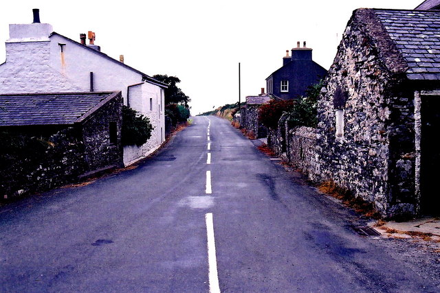
Galleries | A31 (Isle of Man) | ||
File history
Click on a date/time to view the file as it appeared at that time.
| Date/Time | Thumbnail | Dimensions | User | Comment | |
|---|---|---|---|---|---|
| current | 16:20, 5 February 2010 | | 640 × 427 (97 KB) | Jeni (talk | contribs) | {{Information |description = Cregneash Village - Cregneash Road (A31) |day = 16 |month = 09 |year = 2003 |photographer = © Copyright [http://www.geograph.org.uk/profile/34083 Joseph Mischyshyn] and licensed for reuse under [http: |
File usage
The following page uses this file:
_-_Geograph_-_1693013.jpg&oldid=130682)