File:Cromwells Bridge from the B6243 - Geograph - 2283580.jpg
Jump to navigation
Jump to search

No higher resolution available.
Cromwells_Bridge_from_the_B6243_-_Geograph_-_2283580.jpg (640 × 479 pixels, file size: 113 KB, MIME type: image/jpeg)
| |||||||||||||||||||||||||
|
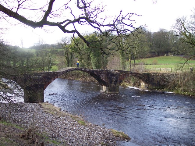
Galleries | Old Lower Hodder Bridge | Pictures from Geograph | ||
File history
Click on a date/time to view the file as it appeared at that time.
| Date/Time | Thumbnail | Dimensions | User | Comment | |
|---|---|---|---|---|---|
| current | 10:46, 2 January 2021 | | 640 × 479 (113 KB) | C2r (talk | contribs) | '''Cromwell's Bridge from the B6243''' |
File usage
The following page uses this file: