File:Cross Green Bridge near Coven, Staffordshire - Geograph - 5204853.jpg
Jump to navigation
Jump to search

No higher resolution available.
Cross_Green_Bridge_near_Coven,_Staffordshire_-_Geograph_-_5204853.jpg (640 × 470 pixels, file size: 127 KB, MIME type: image/jpeg)
| |||||||||||||||||||||||||
|
Galleries | C273 (Staffordshire) | Wolverhampton | Cross Green Bridge | ||
File history
Click on a date/time to view the file as it appeared at that time.
| Date/Time | Thumbnail | Dimensions | User | Comment | |
|---|---|---|---|---|---|
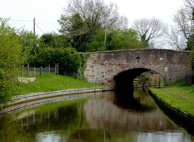
| current | 10:53, 13 April 2020 | | 640 × 470 (127 KB) | Steven (talk | contribs) | '''Cross Green Bridge near Coven, Staffordshire''' Staffordshire and Worcestershire Canal. Cross Green Bridge (No 71) carries the Old Stafford Road, long since replaced for most traffic by the dual carriageway A449. |
File usage
The following 2 pages use this file: