File:Crossed lines - Geograph - 284556.jpg
Jump to navigation
Jump to search

No higher resolution available.
Crossed_lines_-_Geograph_-_284556.jpg (640 × 480 pixels, file size: 99 KB, MIME type: image/jpeg)
| |||||||||||||||||||||||||
|
Galleries | A40 | Hardwick Gyratory | Abergavenny | ||
File history
Click on a date/time to view the file as it appeared at that time.
| Date/Time | Thumbnail | Dimensions | User | Comment | |
|---|---|---|---|---|---|
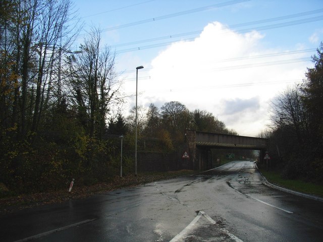
| current | 22:52, 15 October 2016 | | 640 × 480 (99 KB) | C2r (talk | contribs) | '''Crossed lines''' Power cables over the railway line which is crossing the roundabout which forms the junction of the A40, A465, A4042 and the B4598. |
File usage
The following 3 pages use this file: