File:Crossraods at Clinstown, Co. Meath - Geograph - 1753653.jpg
Jump to navigation
Jump to search

No higher resolution available.
Crossraods_at_Clinstown,_Co._Meath_-_Geograph_-_1753653.jpg (640 × 480 pixels, file size: 73 KB, MIME type: image/jpeg)
| |||||||||||||||||||||||||
|
Galleries | R108 | ||
File history
Click on a date/time to view the file as it appeared at that time.
| Date/Time | Thumbnail | Dimensions | User | Comment | |
|---|---|---|---|---|---|
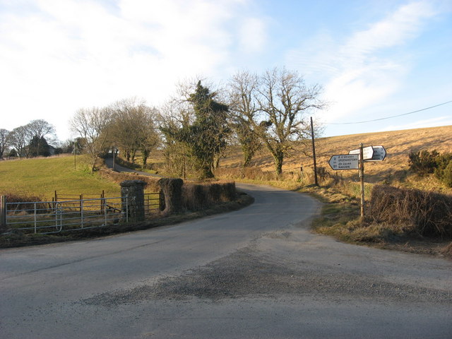
| current | 18:38, 28 March 2014 | | 640 × 480 (73 KB) | Viator (talk | contribs) | Crossroads at Clinstown on the R108, an old route which runs up hill and down dale from Dublin to Drogheda |
File usage
The following page uses this file: