File:Crossroads at Gortlownan - Geograph - 1638580.jpg
Jump to navigation
Jump to search

No higher resolution available.
Crossroads_at_Gortlownan_-_Geograph_-_1638580.jpg (640 × 480 pixels, file size: 57 KB, MIME type: image/jpeg)
| |||||||||||||||||||||||||
File history
Click on a date/time to view the file as it appeared at that time.
| Date/Time | Thumbnail | Dimensions | User | Comment | |
|---|---|---|---|---|---|
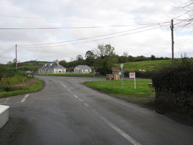
| current | 13:32, 25 April 2014 | | 640 × 480 (57 KB) | Viator (talk | contribs) | Crossroads at Gortlownan: the R290 (coming in from the right) here reaches its terminus on the R287 (foreground and ahead) |
File usage
The following 3 pages use this file: