File:Crossroads on Hylton Road, Sunderland - Geograph - 5436323.jpg
Jump to navigation
Jump to search

No higher resolution available.
Crossroads_on_Hylton_Road,_Sunderland_-_Geograph_-_5436323.jpg (640 × 480 pixels, file size: 59 KB, MIME type: image/jpeg)
| |||||||||||||||||||||||||
|
Galleries | C511 (Sunderland) | C512 (Sunderland) | ||
File history
Click on a date/time to view the file as it appeared at that time.
| Date/Time | Thumbnail | Dimensions | User | Comment | |
|---|---|---|---|---|---|
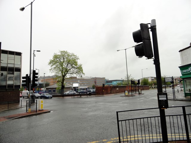
| current | 09:21, 11 January 2018 | | 640 × 480 (59 KB) | Gc a690 (talk | contribs) | '''Crossroads on Hylton Road, Sunderland''' Hylton Road is running from left to right on the picture, at the junction with Kayll Road. The Royal Hospital is in the background. |
File usage
The following 2 pages use this file: