File:Cullenrammer - Geograph - 239248.jpg
Jump to navigation
Jump to search

No higher resolution available.
Cullenrammer_-_Geograph_-_239248.jpg (640 × 479 pixels, file size: 67 KB, MIME type: image/jpeg)
| |||||||||||||||||||||||||
|
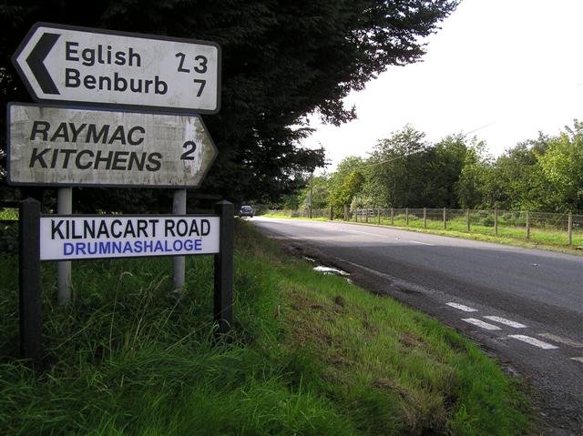
Galleries | B35 (Northern Ireland) | Flag Sign | Dungannon | ||
File history
Click on a date/time to view the file as it appeared at that time.
| Date/Time | Thumbnail | Dimensions | User | Comment | |
|---|---|---|---|---|---|
| current | 12:58, 8 May 2010 | | 640 × 479 (67 KB) | Si404 (talk | contribs) | '''Cullenrammer'''<br/>The road is heading to Carnteel |
File usage
The following 2 pages use this file: