File:CumberlandBasin.jpg
Jump to navigation
Jump to search

No higher resolution available.
CumberlandBasin.jpg (545 × 415 pixels, file size: 128 KB, MIME type: image/jpeg)
| |||||||||||||||||||||||||
|
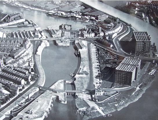
Galleries | A3029 | Cumberland Basin | ||
File history
Click on a date/time to view the file as it appeared at that time.
| Date/Time | Thumbnail | Dimensions | User | Comment | |
|---|---|---|---|---|---|
| current | 16:10, 20 December 2009 | | 545 × 415 (128 KB) | Jimbo (talk | contribs) | {{Information |description = Cumberland Basin before the new road scheme |day = |month = |year = |photographer = |source = Local history board in the area |road = A3029 |road2 = |road3 = |lat |
File usage
The following page uses this file: