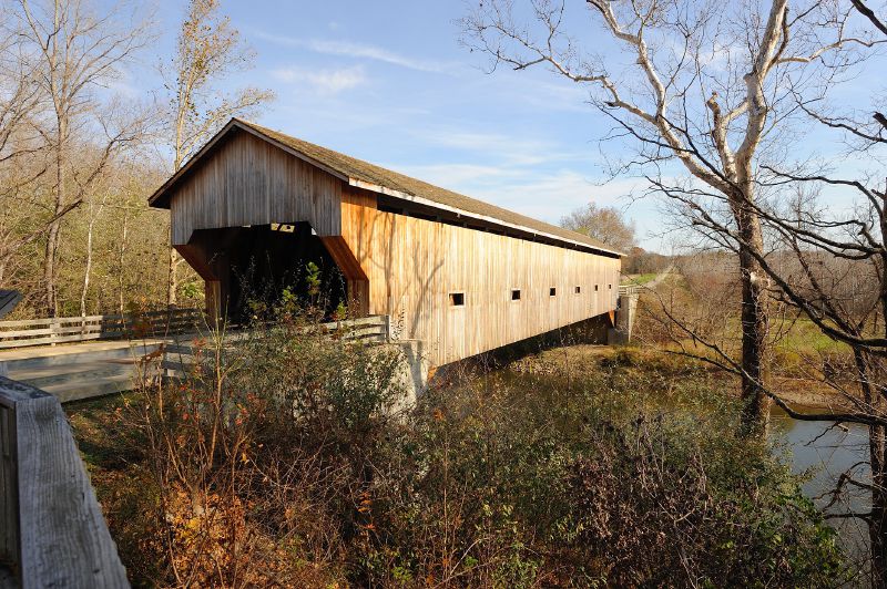
File:Cumberland Covered Bridge.jpg
Jump to navigation
Jump to search

Size of this preview: 800 × 532 pixels. Other resolution: 2,128 × 1,416 pixels.
Original file (2,128 × 1,416 pixels, file size: 1.22 MB, MIME type: image/jpeg)
| |||||||||||||||||||||||||
|
Galleries | Photo of the Month December 2014 | Photo of the Month Winners | United States of America | Missouri | ||
File history
Click on a date/time to view the file as it appeared at that time.
| Date/Time | Thumbnail | Dimensions | User | Comment | |
|---|---|---|---|---|---|
| current | 15:24, 15 November 2014 | | 2,128 × 1,416 (1.22 MB) | Truvelo (talk | contribs) | Cumberland Covered Bridge |
File usage
The following page uses this file: