File:Cumbernauld Road (C) Mary and Angus Hogg - Geograph - 4254354.jpg
Jump to navigation
Jump to search

No higher resolution available.
Cumbernauld_Road_(C)_Mary_and_Angus_Hogg_-_Geograph_-_4254354.jpg (640 × 436 pixels, file size: 90 KB, MIME type: image/jpeg)
| |||||||||||||||||||||||||
File history
Click on a date/time to view the file as it appeared at that time.
| Date/Time | Thumbnail | Dimensions | User | Comment | |
|---|---|---|---|---|---|
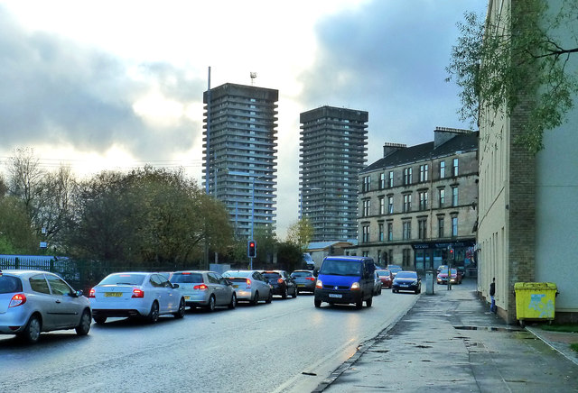
| current | 21:03, 9 March 2015 | | 640 × 436 (90 KB) | Vlad (talk | contribs) | '''Cumbernauld Road (C) Mary and Angus Hogg '''<br/>A mid-November view, looking towards the junction with Duke Street. |
File usage
The following 3 pages use this file:
_Mary_and_Angus_Hogg_-_Geograph_-_4254354.jpg&oldid=396264)