File:Cycle lane on Southwark Bridge - Geograph - 5139671.jpg
Jump to navigation
Jump to search

No higher resolution available.
Cycle_lane_on_Southwark_Bridge_-_Geograph_-_5139671.jpg (640 × 480 pixels, file size: 85 KB, MIME type: image/jpeg)
| |||||||||||||||||||||||||
|
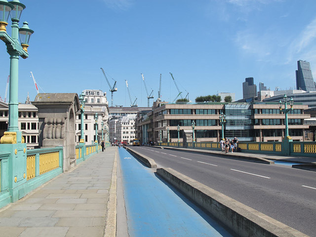
Galleries | CS7 | A300 | Southwark Bridge | The City | Central London | ||
File history
Click on a date/time to view the file as it appeared at that time.
| Date/Time | Thumbnail | Dimensions | User | Comment | |
|---|---|---|---|---|---|
| current | 16:21, 7 October 2016 | | 640 × 480 (85 KB) | Si404 (talk | contribs) | '''Cycle lane on Southwark Bridge''' While not as impressive as the "superhighway" over Blackfriars 5139646, at least there is now a segregated lane in each direction. |
File usage
The following 2 pages use this file: