File:Cycle path alongside the A2 (C) Stephen Craven - Geograph - 2533093.jpg
Jump to navigation
Jump to search

No higher resolution available.
Cycle_path_alongside_the_A2_(C)_Stephen_Craven_-_Geograph_-_2533093.jpg (640 × 480 pixels, file size: 99 KB, MIME type: image/jpeg)
| |||||||||||||||||||||||||
File history
Click on a date/time to view the file as it appeared at that time.
| Date/Time | Thumbnail | Dimensions | User | Comment | |
|---|---|---|---|---|---|
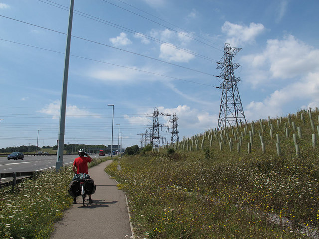
| current | 14:47, 30 January 2014 | | 640 × 480 (99 KB) | Si404 (talk | contribs) | '''Cycle path alongside the A2 (C) Stephen Craven '''<br/>Since the nearby Ebbsfleet International railway station was built, National Cycle Route 1 has been diverted to run past the station and alongside the A2 towards Dartford. The electricity pylon... |
File usage
There are no pages that use this file.
_Stephen_Craven_-_Geograph_-_2533093.jpg&oldid=362034)