File:Cycle path at Lunderston Bay - Geograph - 4963342.jpg
Jump to navigation
Jump to search

No higher resolution available.
Cycle_path_at_Lunderston_Bay_-_Geograph_-_4963342.jpg (640 × 480 pixels, file size: 153 KB, MIME type: image/jpeg)
| |||||||||||||||||||||||||
|
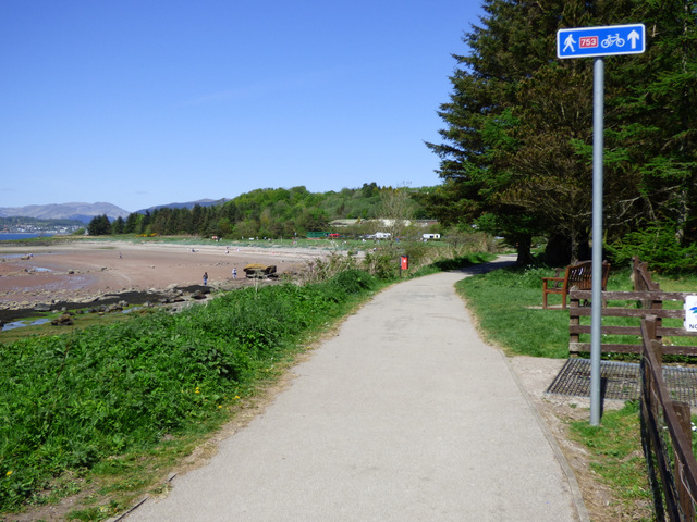
Galleries | NCN753 | ||
File history
Click on a date/time to view the file as it appeared at that time.
| Date/Time | Thumbnail | Dimensions | User | Comment | |
|---|---|---|---|---|---|
| current | 20:53, 11 April 2021 | | 640 × 480 (153 KB) | Tam nugent (talk | contribs) | National Cycle Network route 753 runs the length of the bay and will eventually reach Ardrossan. |
File usage
The following page uses this file: