File:Cycle path near Walthamstow (C) Malc McDonald - Geograph - 3500551.jpg
Jump to navigation
Jump to search

No higher resolution available.
Cycle_path_near_Walthamstow_(C)_Malc_McDonald_-_Geograph_-_3500551.jpg (640 × 480 pixels, file size: 82 KB, MIME type: image/jpeg)
| |||||||||||||||||||||||||
|
Galleries | NCN1 | Route Confirmation Sign | Walthamstow | ||
File history
Click on a date/time to view the file as it appeared at that time.
| Date/Time | Thumbnail | Dimensions | User | Comment | |
|---|---|---|---|---|---|
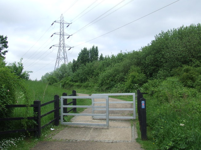
| current | 15:17, 30 January 2014 | | 640 × 480 (82 KB) | Si404 (talk | contribs) | '''Cycle path near Walthamstow (C) Malc McDonald '''<br/>The small blue sign indicates that this path is part of National Cycle Network route 1. |
File usage
The following page uses this file:
_Malc_McDonald_-_Geograph_-_3500551.jpg&oldid=362056)