File:Cycle paths at Beckton (C) Malc McDonald - Geograph - 3640535.jpg
Jump to navigation
Jump to search

No higher resolution available.
Cycle_paths_at_Beckton_(C)_Malc_McDonald_-_Geograph_-_3640535.jpg (640 × 360 pixels, file size: 63 KB, MIME type: image/jpeg)
| |||||||||||||||||||||||||
|
Galleries | Fingerpost | London | ||
File history
Click on a date/time to view the file as it appeared at that time.
| Date/Time | Thumbnail | Dimensions | User | Comment | |
|---|---|---|---|---|---|
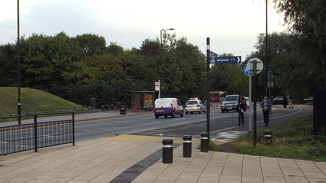
| current | 14:05, 8 March 2014 | | 640 × 360 (63 KB) | Si404 (talk | contribs) | '''Cycle paths at Beckton (C) Malc McDonald '''<br/>The signpost indicates that a cycle path runs alongside the road here. |
File usage
There are no pages that use this file.
_Malc_McDonald_-_Geograph_-_3640535.jpg&oldid=366443)