File:Cycle route near Todholm Road (C) Lairich Rig - Geograph - 1663744.jpg
Jump to navigation
Jump to search

No higher resolution available.
Cycle_route_near_Todholm_Road_(C)_Lairich_Rig_-_Geograph_-_1663744.jpg (640 × 480 pixels, file size: 79 KB, MIME type: image/jpeg)
| |||||||||||||||||||||||||
File history
Click on a date/time to view the file as it appeared at that time.
| Date/Time | Thumbnail | Dimensions | User | Comment | |
|---|---|---|---|---|---|
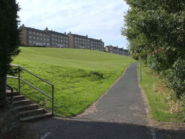
| current | 15:13, 30 January 2014 | | 640 × 480 (79 KB) | Si404 (talk | contribs) | '''Cycle route near Todholm Road (C) Lairich Rig '''<br/>This section of NCN7 / NCN75 is overlooked by <a href="http://www.geograph.org.uk/photo/1359801">NS4962 : Derelict flats, Todholm Road</a>. |
_Lairich_Rig_-_Geograph_-_1663744.jpg&oldid=362053)