File:Cycle track from Twyford Abbey Road to... (C) David Hawgood - Geograph - 2573467.jpg
Jump to navigation
Jump to search

No higher resolution available.
Cycle_track_from_Twyford_Abbey_Road_to..._(C)_David_Hawgood_-_Geograph_-_2573467.jpg (640 × 480 pixels, file size: 85 KB, MIME type: image/jpeg)
| |||||||||||||||||||||||||
|
Galleries | Flag Sign | Hanger Lane Gyratory | ||
File history
Click on a date/time to view the file as it appeared at that time.
| Date/Time | Thumbnail | Dimensions | User | Comment | |
|---|---|---|---|---|---|
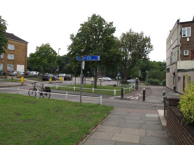
| current | 14:11, 8 March 2014 | | 640 × 480 (85 KB) | Si404 (talk | contribs) | '''Cycle track from Twyford Abbey Road to... (C) David Hawgood '''<br/>This track goes along the front of shops in Abbey Parade, then through a subway to Priory Gardens. |
File usage
There are no pages that use this file.
_David_Hawgood_-_Geograph_-_2573467.jpg&oldid=366446)