File:Cycleway in King George's Park (C) Stephen Craven - Geograph - 2584209.jpg
Jump to navigation
Jump to search

No higher resolution available.
Cycleway_in_King_George's_Park_(C)_Stephen_Craven_-_Geograph_-_2584209.jpg (640 × 480 pixels, file size: 116 KB, MIME type: image/jpeg)
| |||||||||||||||||||||||||
|
Galleries | NCN20 | Wandsworth | ||
File history
Click on a date/time to view the file as it appeared at that time.
| Date/Time | Thumbnail | Dimensions | User | Comment | |
|---|---|---|---|---|---|
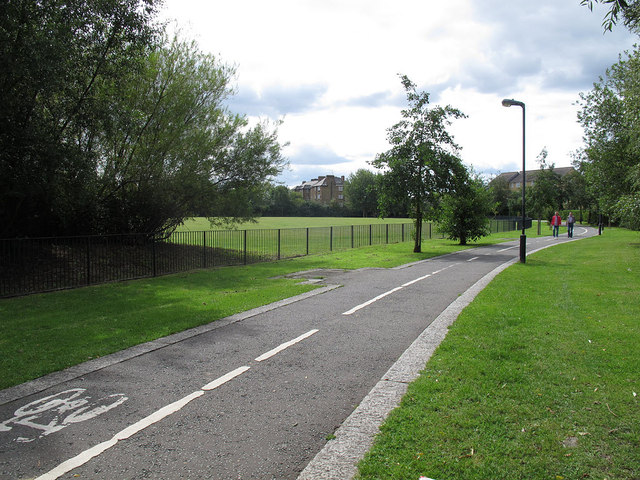
| current | 12:59, 8 March 2014 | | 640 × 480 (116 KB) | Si404 (talk | contribs) | '''Cycleway in King George's Park (C) Stephen Craven '''<br/>This well used cycleway and footpath form, respectively, parts of NCN22 and the Wandle Trail. |
File usage
The following 3 pages use this file:
_Stephen_Craven_-_Geograph_-_2584209.jpg&oldid=366404)