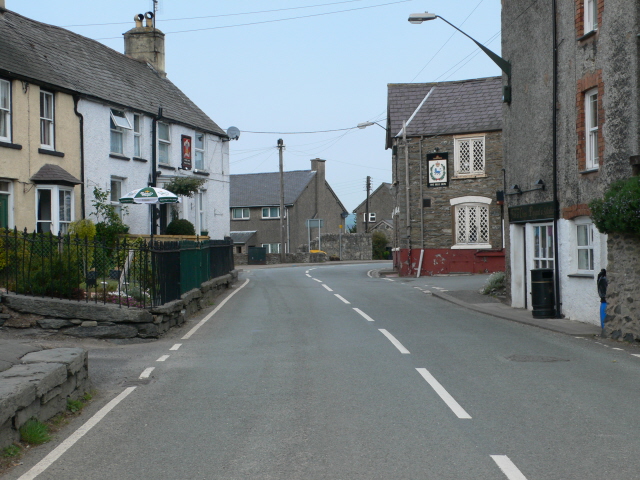
'''Cynwyd'''<br/>The main road through Cynwyd (B4401). The white building on the left is the Prince of Wales Inn, while over the road is the Blue Lion.
'''Cynwyd'''<br/>The main road through Cynwyd (B4401). The white building on the left is the Prince of Wales Inn, while over the road is the Blue Lion.

