 | |  |
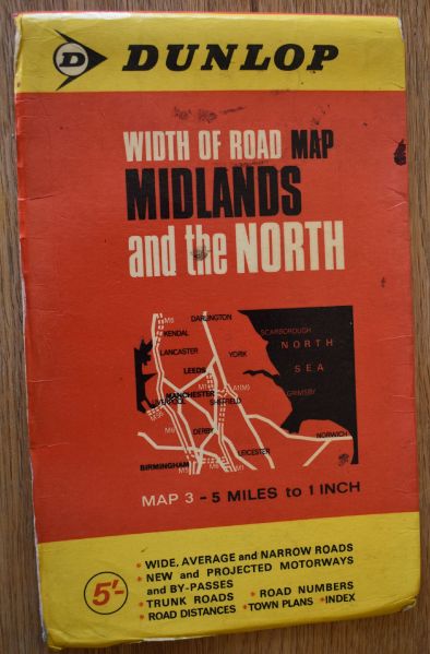
| | Description: | Cover of Dunlop 'Width of Road' Map of Midlands and the North, scale 5 miles to 1 inch, date unknown. Printed by Geographia Ltd. | | Location: | This picture currently has no coords, edit this page to add them. | | Road: | | | Date: | 24 04 2020 | | Photographer: | | | Source: | |
| |
 | |  |
File history
Click on a date/time to view the file as it appeared at that time.
| Date/Time | Thumbnail | Dimensions | User | Comment |
|---|
| current | 16:30, 24 April 2020 |  | 1,735 × 2,638 (545 KB) | Halmyre (talk | contribs) | Cover of Dunlop 'Width of Road' Map of Midlands and the North, scale 5 miles to 1 inch, date unknown. Printed by Geographia Ltd. |
File usage
There are no pages that use this file.
This file contains additional information, probably added from the digital camera or scanner used to create or digitise it.
If the file has been modified from its original state, some details may not fully reflect the modified file.
