File:Darlaston - Wolverhampton Street - Geograph - 1853811.jpg
Jump to navigation
Jump to search

No higher resolution available.
Darlaston_-_Wolverhampton_Street_-_Geograph_-_1853811.jpg (640 × 480 pixels, file size: 201 KB, MIME type: image/jpeg)
| |||||||||||||||||||||||||
|
Galleries | U99 (Wolverhampton) | Wolverhampton | ||
File history
Click on a date/time to view the file as it appeared at that time.
| Date/Time | Thumbnail | Dimensions | User | Comment | |
|---|---|---|---|---|---|
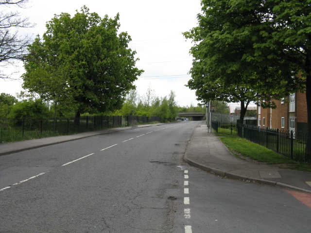
| current | 17:45, 24 May 2010 | | 640 × 480 (201 KB) | Steven (talk | contribs) | '''Darlaston - Wolverhampton Street''' The road is rising to clear a canal, before being bridged by the Black Country Route (A463). |
File usage
The following 2 pages use this file: