File:Deansgate - Geograph - 1749546.jpg
Jump to navigation
Jump to search

No higher resolution available.
Deansgate_-_Geograph_-_1749546.jpg (640 × 480 pixels, file size: 98 KB, MIME type: image/jpeg)
| |||||||||||||||||||||||||
|
Galleries | A56 | Manchester | ||
File history
Click on a date/time to view the file as it appeared at that time.
| Date/Time | Thumbnail | Dimensions | User | Comment | |
|---|---|---|---|---|---|
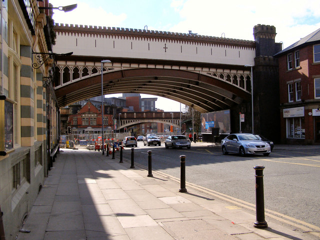
| current | 14:52, 14 March 2010 | | 640 × 480 (98 KB) | Jeni (talk | contribs) | '''Deansgate'''<br/>Two bridges at the southern end of Deansgate. The nearer of the two carries the Metrolink, whist the other carries the railway approaching Deansgate station. |
File usage
The following page uses this file: